Blogerroom

Thwaites Glacier Could Add 30 mm of Sea Rise by 2100
A Nature Communications model of Thwaites Glacier projects up to 30 mm of sea-level rise by 2100, about double earlier estimates, even with no extra warming.
For years, computer models of Antarctica's Thwaites Glacier have lagged behind the satellites watching it. The glacier kept retreating faster than the simulations said it should. A study published on October 12 in Nature Communications says the models were missing a piece of physics, and that adding it roughly doubles the glacier's projected contribution to sea-level rise by 2100, to as much as 30 millimeters, about 1.2 inches.
A bigger number from a more modest scenario
The headline figure comes with an important detail. The researchers, from the University of California, Irvine and NASA's Jet Propulsion Laboratory, ran their simulations under constant climate conditions, a lower-bound scenario that deliberately holds ocean warming steady to isolate the effect of one process, according to the paper. Even so, the model produced 30 ± 6 millimeters of sea-level rise from Thwaites by 2100, approximately double previous projections.
That figure is for Thwaites alone. It does not mean total global sea-level rise would double, a point the IBTimes coverage stressed. Thwaites, a glacier about the size of Florida in West Antarctica, holds enough ice to raise the oceans by more than half a meter if it collapsed completely, according to Earth.com's summary. The new study is about how fast it gets there, not whether it does.
The line that turned out to be a zone
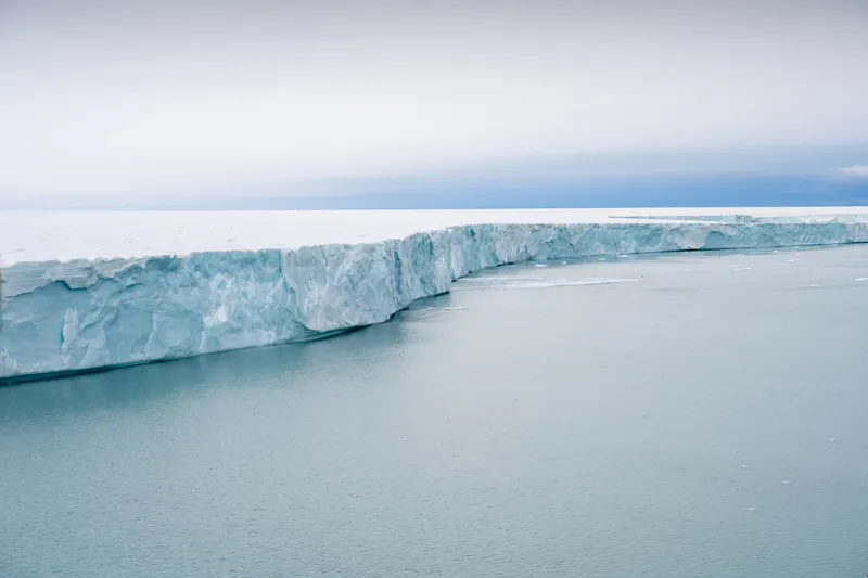
Ice sheet models traditionally treat the point where grounded ice starts to float, called the grounding line, as a sharp and mostly stable boundary. Lead author Mattia Poinelli, now a project scientist at UCLA, said satellite observations instead show a grounding zone, sometimes kilometers wide, where warm ocean water reaches deep beneath the ice and causes vigorous melting.
The mechanism is tidal. As the tide rises and falls, seawater moves in and out under the glacier, lifting sections of ice and exposing more of its underside. In a grounding-line model the melting happens at a single point. In a grounding-zone model it happens across a band of several kilometers, every tidal cycle.
To test the idea, the team used synthetic aperture radar data from the Finnish ICEYE satellite constellation, which can detect kilometer-scale changes in Thwaites' grounding zone, and calibrated their model against more than 25 years of observations. With a grounding zone 2 to 5 kilometers wide, the model reproduced the observed retreat, thinning and acceleration for the first time. Traditional models with a sharp grounding line underestimated the historical rate of change by a factor of four, Earth.com reported.
The assumption that matters most
Here is the catch, and it is in the paper. The result depends heavily on how wide the grounding zone is. Simply introducing a grounding zone raises the projected sea-level contribution by 51 percent relative to a traditional grounding-line formulation, the authors write. Each additional kilometer of grounding-zone length changes the projection by an average of 22 percent. If the zone is narrow, 1 ± 1 kilometer, the result falls to 14.3 ± 3.1 millimeters, comparable to the mean of earlier ice-sheet model comparisons.
The authors conclude that their projections are less sensitive to moderate changes in ocean temperature than to the extent of the grounding zone. That reverses the usual question. The most pressing uncertainty is not how much the ocean warms, but how wide the zone of intrusion really is across the whole glacier, and whether satellites can map it everywhere.
The ridge holding the line
A seafloor feature is currently helping the glacier. "The Thwaites main trunk is being temporarily stabilized by the Mouginot Ridge," Poinelli said. Once it is unpinned, the glacier will keep retreating across a seabed that slopes downward inland, toward its next high point, the South Ridge.
In simulations with a grounding zone 4 to 6 kilometers wide, the researchers estimate a 60 percent probability that Thwaites detaches from the Mouginot Ridge by 2100, and some scenarios place that event as early as 2038. Those are model outputs, not predictions of a date. But they turn a vague warning into something that can be tested, since the ridge is observable and its unpinning would be visible in satellite records.
What this does and does not change
Treat the result with the care any single modeling study deserves. The simulations use a constant-forcing baseline, not a forecast. The grounding-zone width is calibrated from observations of one glacier and may not apply cleanly elsewhere. And independent teams will need to reproduce the result with their own models, as is normal when a result moves a headline number this far.
Still, the direction fits the researchers' warning. Co-author Eric Rignot said the results predict a greater risk of coastal flooding than anticipated in the coming decades. For coastal planners, a doubling of one glacier's contribution is not an abstract revision. It changes how much margin sea walls, drainage and zoning need.
It also changes what is worth protecting. Natural coastal buffers matter more when the water is rising faster than expected, which is why our earlier report on how waves, not just tides, decide where mangroves can grow bears directly on adaptation. The ocean doing the melting under Thwaites is the same warming ocean now stressing marine life, as in the new study finding 44 percent of reef-building corals at elevated extinction risk.
The practical lesson from Thwaites is about measurement. A model that matches 25 years of satellite data is a better tool than one that does not, and the next step is to apply the same test to other glaciers. If their grounding zones turn out to be similarly wide, global sea-level projections could need revisiting.
---
Written by
Mr. Jitendra Bhatt
Msc in Chemistry and field researcher.