 Blogerroom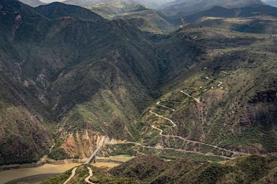
Colombian Rocks Show Americas Collided Earlier Than Thought
Magnetic signals in Colombian volcanic rock show Central and South America's collision mostly ended before 10 million years ago.
The rocks that built the northern Andes have been quietly recording a story for millions of years, and it turns out geologists had been reading the ending wrong. New magnetic evidence pulled from volcanic formations in central Colombia shows that the collision between Central and South America was largely finished before 10 million years ago, not during the more recent window textbooks have leaned on for decades.
The study, published in the journal Earth and Planetary Physics, was led by Victor Piedrahita as first author and J. Li as corresponding author, working with an international team of geoscientists. Their target wasn't fossils or sediment layers, the usual tools for dating this kind of event, but the magnetic fingerprints locked inside volcanic rock itself.
Reading magnetism like a geological timestamp
The team focused on rocks from the Combia Volcanic Province, a formation in central Colombia holding late Miocene volcanic material roughly 12 to 6 million years old. That window matters because it sits during the period when the South American Plate was actively interacting with the continental portion of Central America, the exact interval scientists needed better data on to pin down when the two landmasses actually finished coming together.
"Volcanic rocks can preserve a remarkably detailed record of geological processes," Piedrahita explained, according to coverage of the study. "Their magnetic fabrics help us determine whether deformation occurred before, during, or after the rocks were emplaced." That distinction, before, during, or after, is the whole trick behind the method. When magma cools and solidifies, magnetic minerals inside it lock into alignment with conditions at that exact moment. If a rock later gets crushed, folded, or sheared by tectonic forces, that alignment gets visibly disturbed. A rock that still shows its original, undisturbed magnetic pattern is effectively announcing that it arrived after the major violence had already happened.
What the disturbed, and undisturbed, rocks revealed
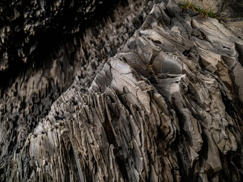
Most of the sampled rocks still carried their primary magnetic fabric, tied to how the original magma or volcanic debris flowed as it settled, according to the study's findings as summarized by EurekAlert. That's the geological equivalent of finding a sheet of ice with no cracks in it: the pattern indicates little to no major tectonic overprinting occurred while these particular rocks were forming during the late Miocene.
Some sample sites did show localized deformation, but the research team described those effects as limited in both scale and intensity, not the kind of widespread crustal disturbance a full continental collision would be expected to leave behind. Piedrahita and Li's conclusion followed directly from that pattern: "Our data indicate that the most significant collisional events between Central and South America occurred earlier than we previously thought, mainly during the Oligocene-middle Miocene." In plain terms, by the time these Colombian volcanic rocks were forming, the heaviest phase of continental crunching had already largely wound down.
Why the old timeline mattered so much in the first place
The collision between Central and South America isn't just an abstract tectonic footnote. It's the geological event that eventually built the Isthmus of Panama, closing what had been open ocean water between two separate landmasses and reshaping global ocean currents in the process. That land bridge also triggered the Great American Biotic Interchange, the massive cross-continental migration of plants and animals between North and South America that reshaped ecosystems on both continents.
Getting the timing right isn't just bookkeeping. Models explaining how and when the northern Andes rose, how regional climate patterns shifted, and how species moved between continents all lean on assumptions about when this collision actually happened. Pushing the main event earlier, into the Oligocene through middle Miocene rather than the late Miocene, means some of those downstream models may need to be revisited with an earlier starting point in mind.
A gradual squeeze rather than a sudden crash
One detail that stands out in this research is how it reframes the nature of the collision itself. Earlier interpretations, largely built around a late-stage, more abrupt tectonic event, don't match what these magnetic fabrics show. Instead, the evidence points toward continental convergence that was already substantially underway and even winding down by the time these late Miocene volcanic rocks solidified, a slower, earlier-starting process rather than a sudden crash concentrated in a narrow, more recent window.
That reframing matters for how geologists picture plate interactions generally. A gradual, protracted collision produces a very different pattern of mountain-building, sediment deposition, and regional deformation than a fast, late-arriving one would, even if both eventually produce a similar end result on a map.
What still needs to be tested
Piedrahita's team is careful to frame this as evidence from one specific volcanic province, not a complete rewrite of Central-South American tectonic history on its own. Confirming whether this earlier timeline holds up broadly will likely require similar magnetic fabric analysis from volcanic rocks at other sites across the Northern Andes and the wider collision zone, comparing whether the same undisturbed magnetic patterns show up consistently or whether Combia's rocks reflect something more localized.
If the earlier timeline does hold up under that broader testing, it would mark a genuine shift in how one of the most consequential tectonic events in the Americas' history gets taught and modeled going forward, not because the mountains moved, but because scientists have finally found a more precise way to ask the rocks themselves when they actually did.
Written by
Mr. Jitendra Bhatt
Msc in Chemistry and field researcher.

